Download Aerial Photographs from the Yukon Government image server
Go to the GeoYukon portal web app, Turn off all Operational Layers (optional), Turn on Base >> Imagery layers of interest (shows footprints) Zoom to […]
Continue reading »geospatial tidbits for and from the Yukon
Go to the GeoYukon portal web app, Turn off all Operational Layers (optional), Turn on Base >> Imagery layers of interest (shows footprints) Zoom to […]
Continue reading »Wildfire season is upon us, albeit quietly in the southern Yukon, but not for those near us. This has me thinking of the primary cause […]
Continue reading »
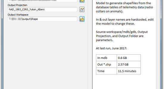
Creating a decent Description for models and other tools in an ArcGIS Toolbox is a friction-full experience. The provided text box is tiny. If you […]
Continue reading »To see articles that are new-to-the-site look at the Recent Changes page. I’m trawling through my archive of old articles, many never shared publicly, and […]
Continue reading »“Service end of life” – greeted me this evening as I visited, alaskamapped.org, a long time member of my hero list. They provided performant web […]
Continue reading »Troubleshooting and debugging ArcMap defintion queries that go beyond a basic single statement can be very frustrating. Statements that work on their own easily break […]
Continue reading »Joining a table to features is an incredibly useful tool. It saves on duplication and double (or triple!) data entry and lets us focus on […]
Continue reading »How to quickly mask a region based on elevation values without creating additional files to manage and store. At right is a sample of a […]
Continue reading »How to fetch list of all lakes with registered names from the Canada Geographic Names Board. Interactively http://www4.rncan.gc.ca/search-place-names/search Select “Water Features”, Yukon, and order by […]
Continue reading »Yukon Albers is the default projection for most Yukon Government data and projects. Here are 3 methods to get your data into that projection. InteractiveOne-at-a-time: […]
Continue reading »