Add a nodata mask to a read-only image?
I finally came up with a solution to the problem of how to deal with missing or inappropriate nodata in imagery that we can’t change […]
Continue reading »geospatial tidbits for and from the Yukon
I finally came up with a solution to the problem of how to deal with missing or inappropriate nodata in imagery that we can’t change […]
Continue reading »Sooner than later, every GIS user in the territory will need to convert spatial data into our standard Yukon Albers projection and be presented with a dialog that has no less than 17 choices and wonder “What is the right choice??”.
Continue reading »I’ve been asked to make a map of the final admin plan for Dàadzàii Vàn (Summit-Bell) Territorial Park for Cabinet submission. So an important map […]
Continue reading »Break a complex definition query into logical segments and spread over several lines to make understanding and debugging easier. Also use a syntax colouring text editor.
Continue reading »For smooth background images in ArcMap turn on Bilinear or Cubic Convolution. To make this the default, see “Arcmap >> Customize >> Arcmap options >> […]
Continue reading »The Imagery Workflows Team at Esri have an interesting Custom Raster Function tool that adds on-the-fly contour generation to the Image Analysis window in ArcMap […]
Continue reading »
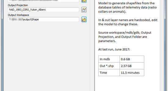
Creating a decent Description for models and other tools in an ArcGIS Toolbox is a friction-full experience. The provided text box is tiny. If you […]
Continue reading »While very convenient to simply copy & paste an image from Picture Viewer, an internet browser, or whatever into your map composition, don’t do it. […]
Continue reading »A collection of snippets for GDAL, the best commandline utility suite for processing rasters (used under the hood by a lot of Esri tools as […]
Continue reading »The file association handling for ArcReader .pmf files is broken in v10 SP4 (and possibly other versions). Problem: double-clicking on .pmf file in Windows Explorer […]
Continue reading »